Briefing
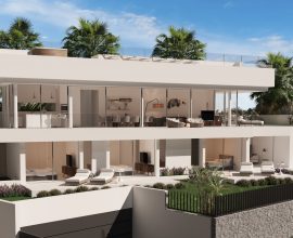
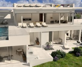
In this project it is necessary to visualize through a video with drone flight, the volume and the area of the plots of a development project in the area of Satellites, Madrid. WebSite: www.corvara.es
Solution
We created a one-minute video, with the drone flight video on the ground, in which we projected the autocad location plan over the video, with a track to adjust it to the real perspective of the drone flight.
Project details:
- Client: Santiago Blasco
- Category: 3D Render, Video
- Live Preview: Video track whit flying drone
- Studio: Luis Dávila Architect
- Software: Autocad, 3d max, Blender, After Effect, Premiere & Ps


